
LANDMARK
Amsterdamse Bos
A forest three times the size of Central Park, with a goat farm and a rowing lake.
A forest made by hand
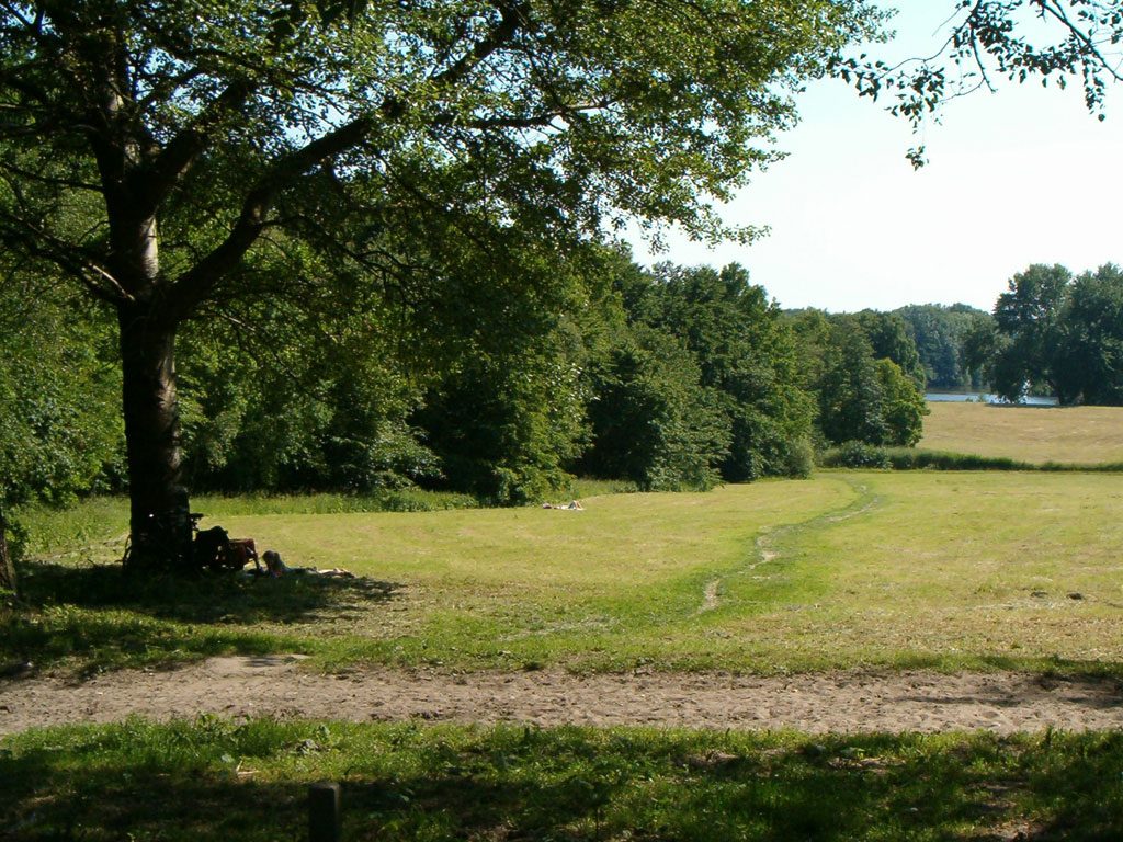
The Amsterdamse Bos looks as if it has always been here. It has not. Every hill, pond and path was planned and dug by people. The forest covers about 1,000 hectares, roughly three times the size of New York's Central Park. Most of it lies in Amstelveen, just over the city line, but Amsterdam owns and looks after it.
This is a forest for using, not only for looking at. People row, run, cycle, ride horses and picnic. The managers count around six million visits a year, and you can still find a path with nobody on it. Come with a few hours and no fixed plan.
How it came to be
Around 1900 the naturalist Jac. P. Thijsse argued that the growing city needed real countryside close by. In 1928 the city council decided to build a large public park. The designers were Cornelis van Eesteren and Jakoba Mulder. Their Boschplan, the Forest Plan, became part of the city's big expansion plan of 1935.
Before that, this was low polder and old peat meadow. Digging began on 30 April 1934, and one of the first jobs was the Bosbaan, the long rowing course. Unemployment was very high, so the forest was also a relief scheme. Between 1934 and 1940 about 20,000 jobless men worked on it, mostly with shovels and wheelbarrows. A memorial called De Kruiwagen, the Wheelbarrow, remembers them.
The war left a darker layer. The occupiers set up labour sites in and around the forest, and four of them were used for Jewish men, who were forced to work here. For many of them this came before deportation. Strips of young trees were cleared for anti-aircraft guns, and in the hunger winter of 1944 to 1945 people from the city cut wood for fuel. The city gave the park its present name in 1947. Schoolchildren planted the last trees of the original plan on the slope of the Heuvel on 25 March 1970.
What to look for
Start with the bridges. There are 116 of them, and 67 are credited to Piet Kramer, an architect of the Amsterdam School. Each is a small piece of design, with its own materials, colour and shape. Look for the little movable ball bridges, where a brightly coloured sphere works as the counterweight.
At the Bosbaan you can often see crews training. The first race here was in May 1937, and the course has hosted the World Rowing Championships twice, in 1977 and 2014. The boathouse and standing terrace beside it date from around 1936 and are a national monument.
The Cherry Blossom Park lies by the Amstelveense Poel, in the southern part. In 2000 the Japan Women's Club gave 400 Japanese cherry trees, and in spring people sit under them for hanami, the custom of watching the blossom. A black granite memorial from 2012 remembers the victims of the 2011 Tōhoku earthquake and tsunami. The old trees are being replaced between 2025 and 2029, so it may look different from the photographs.
Then walk the quieter corners. Highland cattle and Exmoor ponies graze some of the wetter ground. There are reed beds, marshy woodland and, in season, wild orchids. Grass snakes live here, so watch the path edges on a warm day. Notice how flat and low everything is. Pumps hold the water far below the Dutch reference level.
At the Koenenkade entrance you will find the Stedenmaagd, the original 1883 statue that once stood at the entrance to the Vondelpark. In the north, the goat farm Ridammerhoeve stands on one of two emergency landing fields laid out in 1938 to 1940, after accidents near Schiphol. It has been a farm since 1988 and is an easy stop with children.
Before you go
- The forest is open air, free and always open. It is big, so pick an entrance near the part you want to see.
- Bike or bus from the centre both work. Check a journey planner for the stop closest to your part of the forest.
- Go on a weekday morning for the quietest paths. Weekends and sunny afternoons fill up near the rowing course and the goat farm.
- Come in spring for the cherry blossom, and expect it to be busy then.
- Wear shoes that can get muddy, and bring water and snacks. Distances are bigger than they look on the map.
What people say
Related spots
More things to do in Amsterdam ›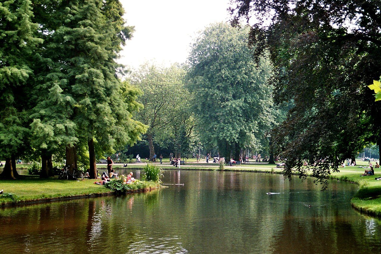 LANDMARK
Vondelpark
The city's big park, with a free open-air theatre in summer and a Picasso sculpture.
 ODD FIND
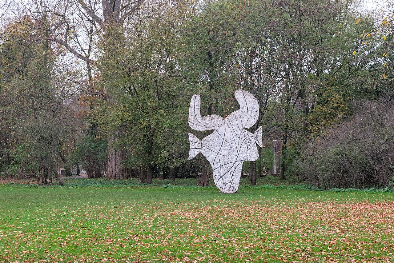
Picasso in the Vondelpark
A real Picasso, 'Figure découpée' (the fish), standing on a lawn in the Vondelpark since 1965. Joggers pass it without looking.
 ODD FIND
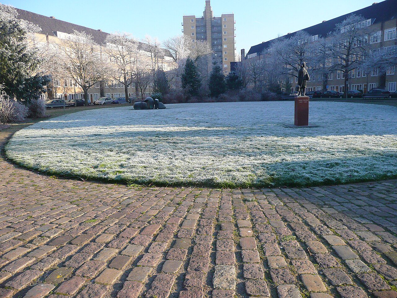
Anne Frank statue (Merwedeplein)
Anne Frank with her bag, in front of the flat where she lived before going into hiding: few visitors find it.
 LANDMARK
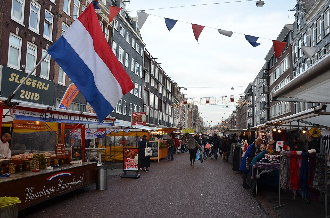
Albert Cuypmarkt
The biggest daily street market in the Netherlands, in De Pijp: stroopwafels, herring and cheese.
 MUSEUM
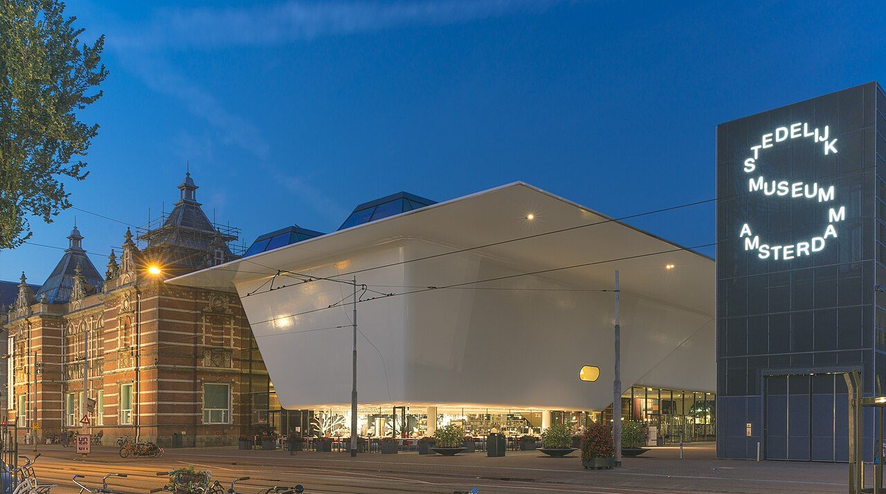
Stedelijk Museum
Modern and contemporary art and design in the 'bathtub' building on Museumplein.
 ODD FIND
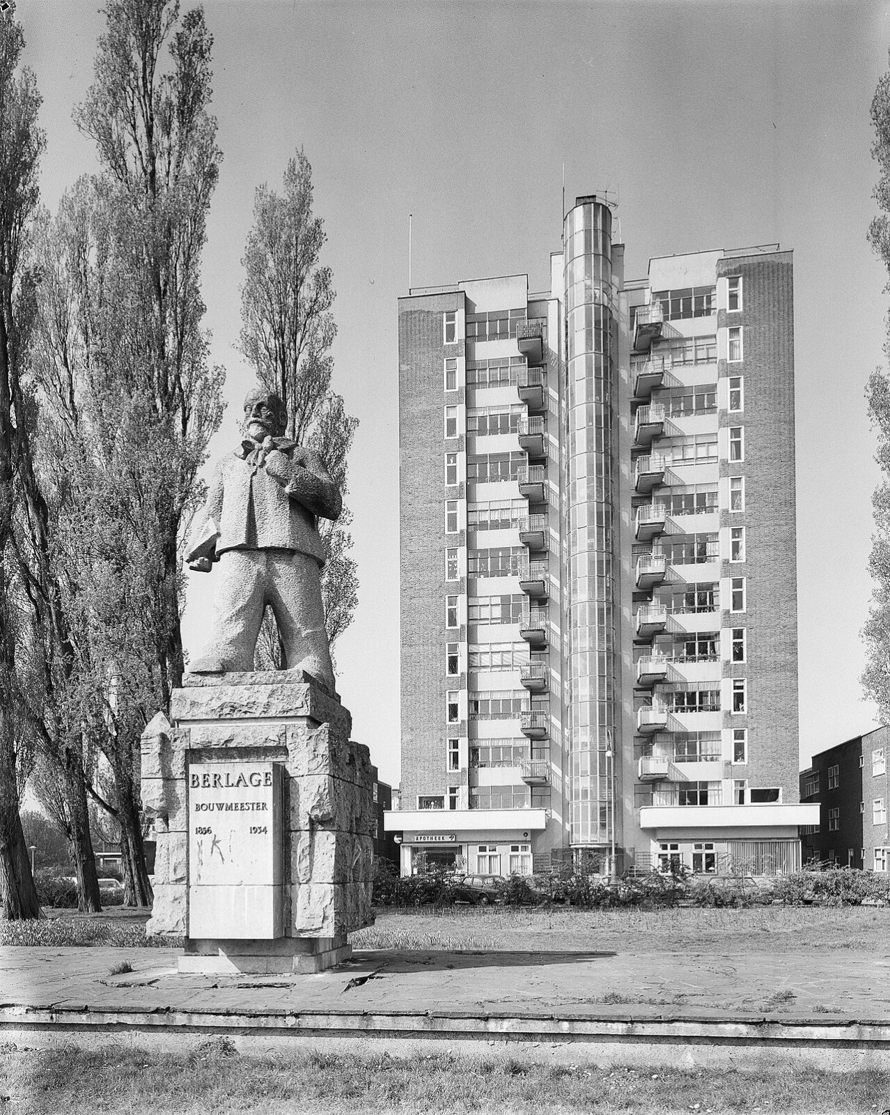
Wolkenkrabber (Twaalfhoog)
Amsterdam's first 'skyscraper', twelve floors in 1932, looking down on a Berlage statue.
Walk it with a guide or a quest
If you want a story on the way, these walks also live in Amsterdam.
 AUDIO TOUR
Amsterdam Ghost Tour
Plague pits, public executions and the canal that swallowed people. The city's grim side, told without the cheap scares.
 AUDIO TOUR
Amsterdam in a Day: Highlights Walk
Start here if it's your first day. Why the houses lean, how the canals were dug, and what the Golden Age was actually built on.
 AUDIO TOUR
Red Light District
Seven centuries of sailors, sin and stubborn tolerance. The real history of the oldest part of town, told straight.