
ODD FIND
Castellum Meinerswijk
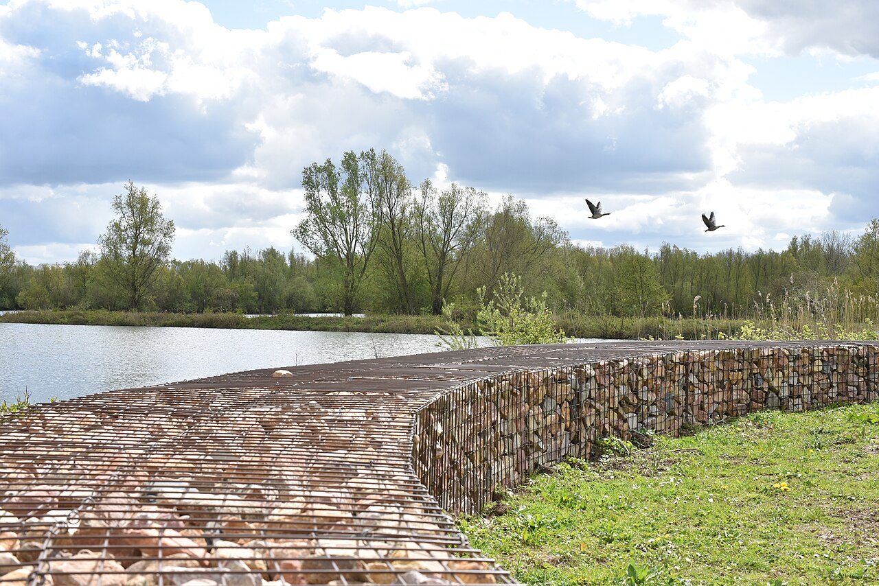
Stone outlines of a Roman fort in the Meinerswijk floodplain, part of the Lower Germanic Limes.
Roman fort on the river bank
Castellum Meinerswijk sits in the floodplain on the south bank of the Rhine, in the western part of Arnhem. It was a fort for auxiliary troops, the soldiers who guarded the Roman frontier. Today you see stone outlines in the grass, the footprint of a fort that stood here for roughly four centuries. It is open air and free.
The river is the point. In Roman times the Rhine was the northern edge of the empire here, and this fort protected the ships that used it. This stretch of the frontier is part of the Lower Germanic Limes, which was added to the World Heritage list in 2021. Meinerswijk was included for its headquarters and its rear defences, both from the stone phase. It is the only known fort of the "delta type" in the eastern part of the river area.
A fort rebuilt again and again
The first fort was probably timber. It was most likely built between the years 10 and 20 AD by the general Germanicus. Around the middle of the first century it was rebuilt, possibly by Corbulo, who used a canal dug from the Rhine to move troops north against the Frisii and Chauci. Part of the Fifth Legion, the Alaudae, was stationed here. In the Batavian revolt of 69 the Batavians burned the fort. After the revolt was put down a year later, it was rebuilt and made larger.
Another rebuilding followed around 120 under Hadrian. Sometime between 170 and 220 the fort was finally rebuilt in stone. It was abandoned after 260, when Postumus founded the Gallic Empire. It may have been restored in the later fourth century, and around the year 400 the Romans left for good. Soil finds suggest a Frankish castle stood here afterwards. By the 8th century the area was called Meginhardeswich, "Meginhard's village".
Archaeologists only found all this recently. Stone walls, stamped pottery and roof tiles turned up in a small survey in 1979. Excavations in 1991 and 1995 uncovered the south wall with its rear gate, the porta decumana, and the headquarters building. Until then almost nothing was certain about Roman Arnhem.
What to look for
The headquarters, the principia, is the part to find. It measured 34 by 38 metres, and its walls were 1.4 metres thick. You entered through a courtyard with columns into a large hall. Behind the hall were offices and the shrine for the unit's standards. Stand at the outlines and picture that layout, then look at the wall line at the back, where the rear gate stood.
Small finds from the dig give the place a human scale. Roof tiles came from the kilns at Holdeurn, on the site of today's Berg en Dal. A stone slab carried the name of the emperor Alexander Severus. A building inscription, LEGIMPF, points to the First Legion Minervia, probably from the time of Marcus Aurelius. In Roman times the river Oude IJssel ran south from Doesburg and flowed into the Rhine at this fort, so imagine water on this side as well.
Even the fort's name is unsettled. Willem Willems first took it for Castra Herculis. Later researchers argued it was too small for that and suggested Levefanum, though the latest view favours Elst for that name. Treat the name as an open question.
The fort lies in the Meinerswijk floodplain park, so it fits a longer walk along the river. Further along the same river, the John Frost Bridge carries a much more recent story of a Rhine crossing.
Before you go
- The fort is in the open floodplain, so it is free and you can visit at any time.
- Walk here from the Meinerswijk floodplain park, about ten minutes on foot.
- Wear shoes that can handle damp grass, especially after rain.
- Bring a jacket. The floodplain is open, and wind off the river can be sharp.
- Read up on the headquarters layout before you go, because the outlines make more sense when you know where the courtyard and hall stood.
What people say
Related spots
More spots in Arnhem ›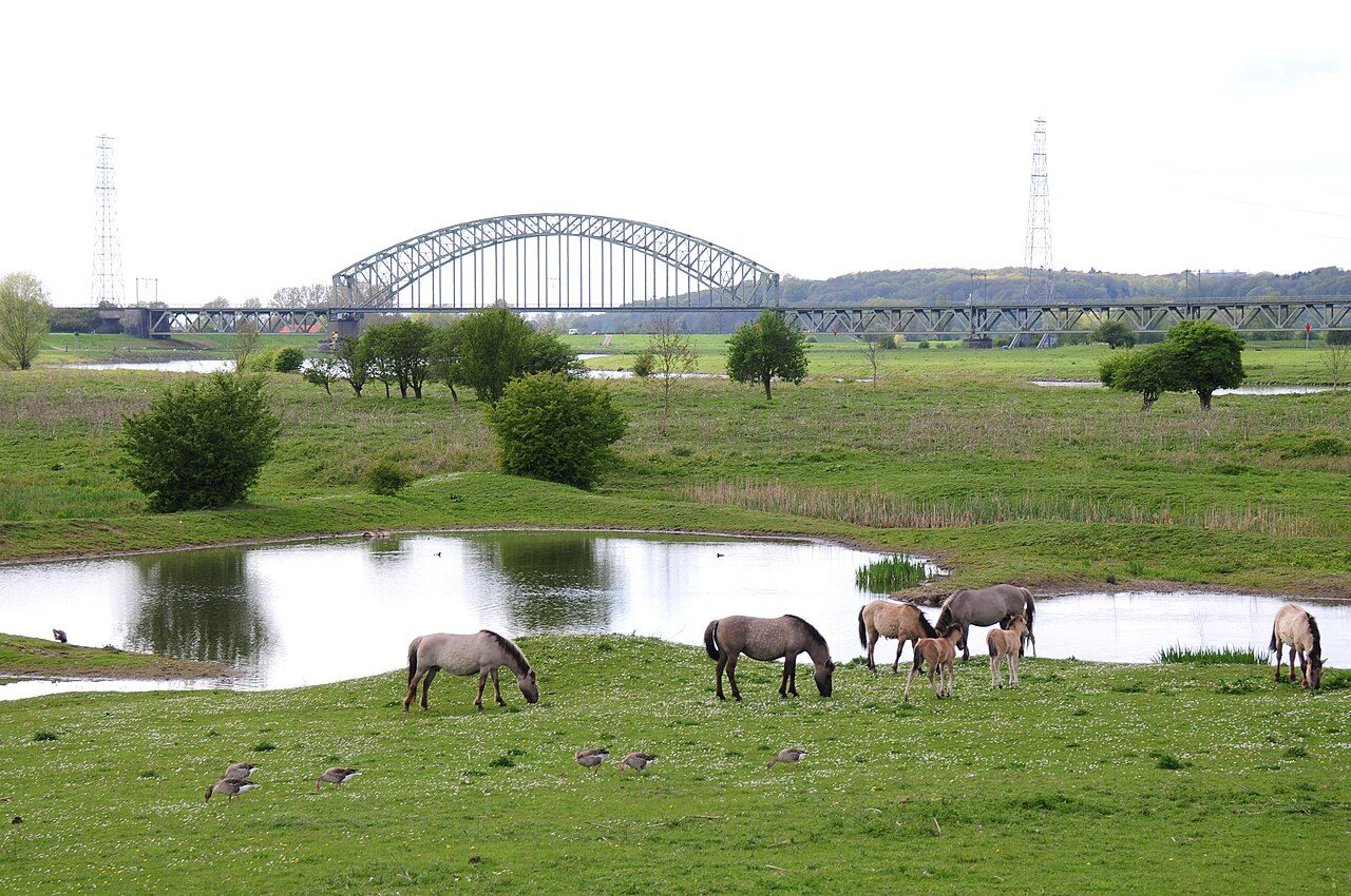 LANDMARK
Meinerswijk
Floodplain park on the south bank: Konik horses, Galloway cattle and a skyline view back to the city.
 LANDMARK
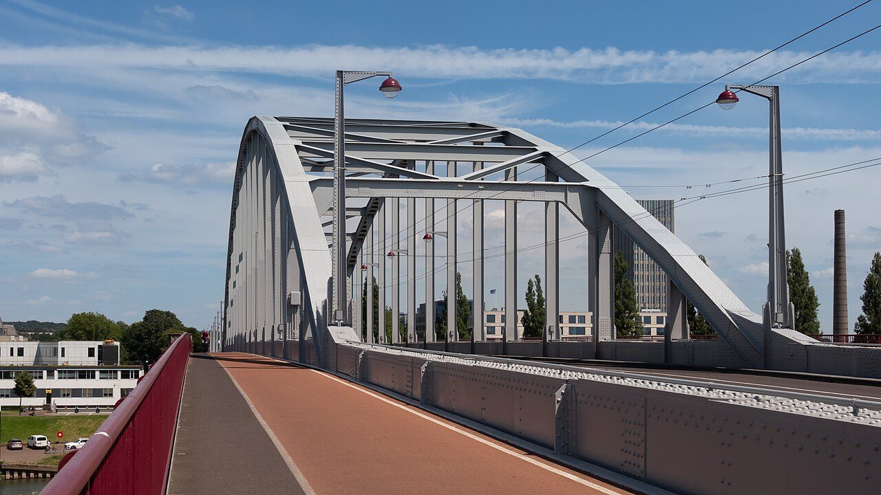
John Frost Bridge
The Rhine bridge the British held in 1944, rebuilt and renamed for John Frost. The film calls it a bridge too far.
 LANDMARK
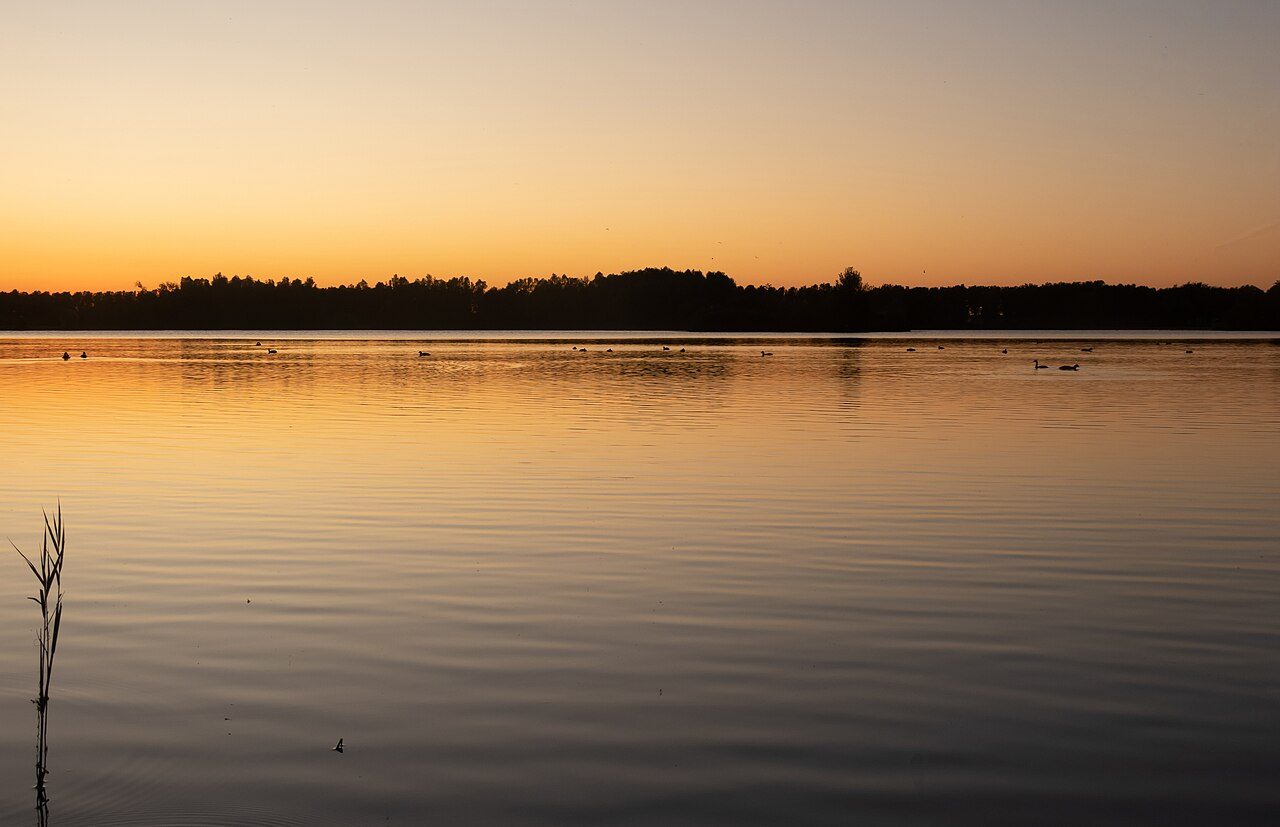
Rijkerswoerdse Plassen
Lakes on the south edge of the city, used for swimming and sailing.
 MUSEUM
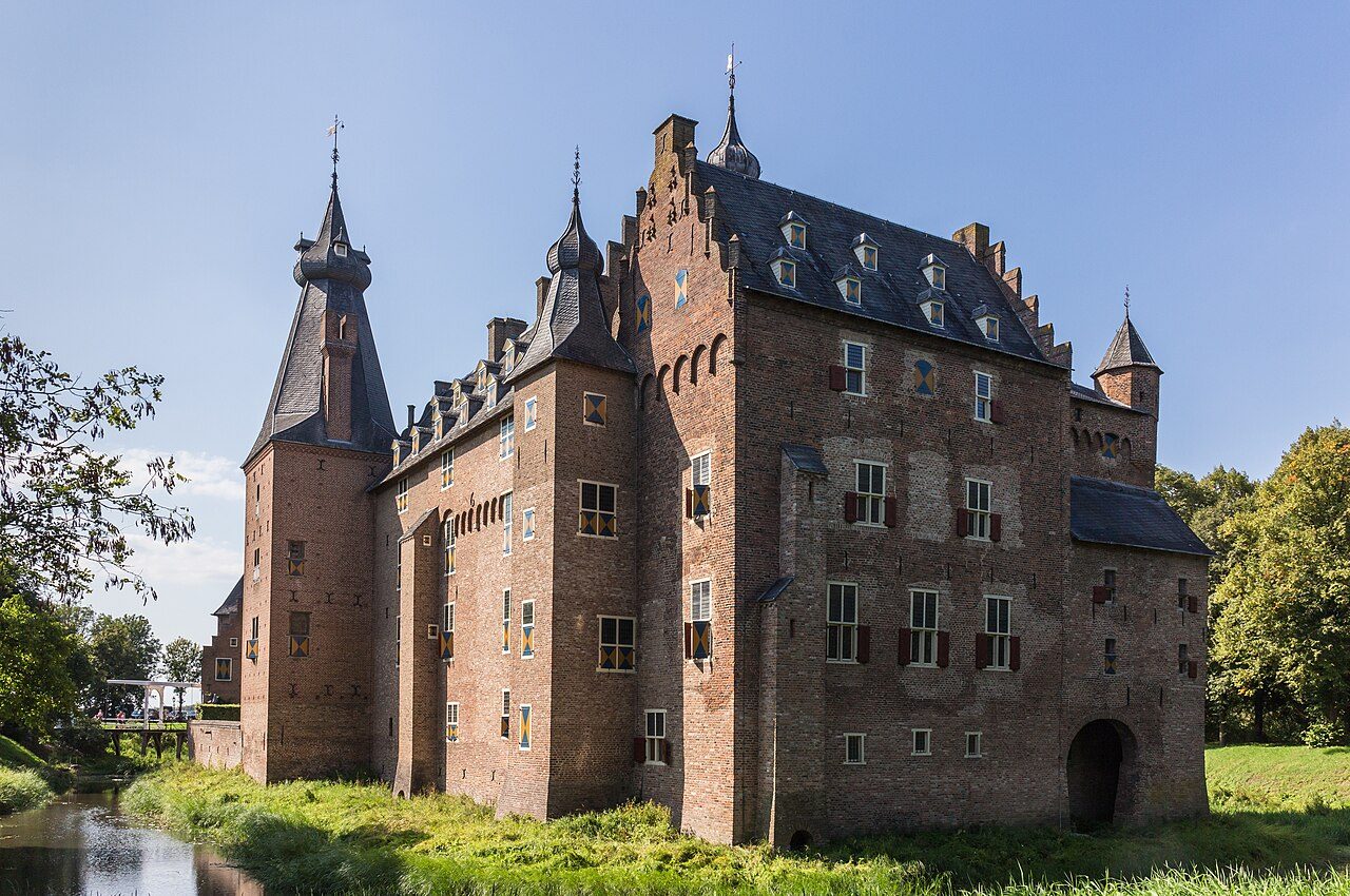
Doorwerth Castle
Medieval moated castle on the south bank, west of the city in Doorwerth, not in Arnhem Zuid.