
LANDMARK
Meinerswijk
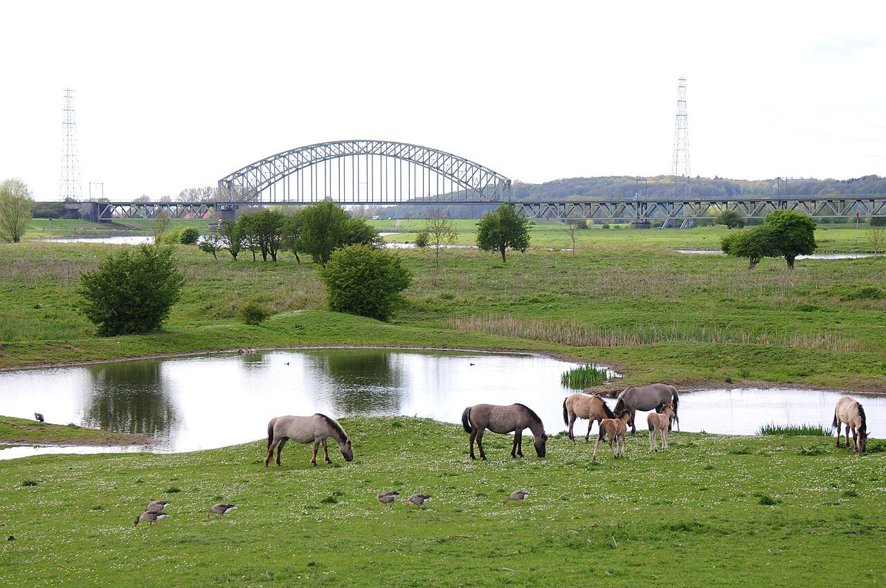
Floodplain park on the south bank: Konik horses, Galloway cattle and a skyline view back to the city.
A floodplain across the river from the city
Meinerswijk is open land on the south bank of the Nederrijn, just across from Arnhem's centre. It is a nature reserve and a park in one. Grass, willows, side channels and wide sky. You walk out of the city and within minutes you are among grazing animals.
Konik horses and Galloway cattle live here all year. They are kept to graze the floodplain, so the grass stays short and the landscape stays open. Keep your distance and let them get on with it. The paths are made for walkers and cyclists, and you can make the loop as long or as short as you like.
The best reason to come is the view back. From the dyke and the open meadows you see Arnhem's skyline over the water, with the church tower and the city rising from the north bank. It is a different angle from anything you get inside the city.
A castle that is no longer there
The name Meinerswijk comes from an old lordship, and it had a castle at its centre. The castle stood just north of the village of Elden. A noble family called Van Meinerswijk is recorded in 1233. By 1294 the Counts of Gelre owned a curtis here, a manorial estate.
Around 1500 the castle was home to Maarten van Rossum, the famous Gelderland soldier. In 1515 Duke Charles of Gelre took Rosande and with it got hold of Meinerswijk too. In the 17th century the Gelderland envoy Barthold van Gendt lived here. He was one of the negotiators at the Peace of Münster. In 1772 the city of Arnhem bought the lordship.
In 1826 a banker, Count van Ranzow, bought the castle. He ran a tea garden around it and set up a model farm. King Willem II bought the estate in 1844. In 1853 the last remains were pulled down: a tower and a few outbuildings.
A drawing by Jan de Beijer from 1742 shows a moated castle with a saddle-roofed house, a tower, a wall and a gate. A 1736 map suggested an L-shaped plan, but excavations in 1989 showed it was T-shaped.
What to look for
The castle site is a national monument, but there are no walls to see. It shows only as a slight rise in the ground, inside the nature reserve. Look for the small swell in the meadow and picture the moat, the gate and the tower around it.
The Roman fort is a short walk away too. Castellum Meinerswijk marks the outline of a fort on the Lower Germanic Limes, so this one stretch of floodplain holds Roman, medieval and modern layers.
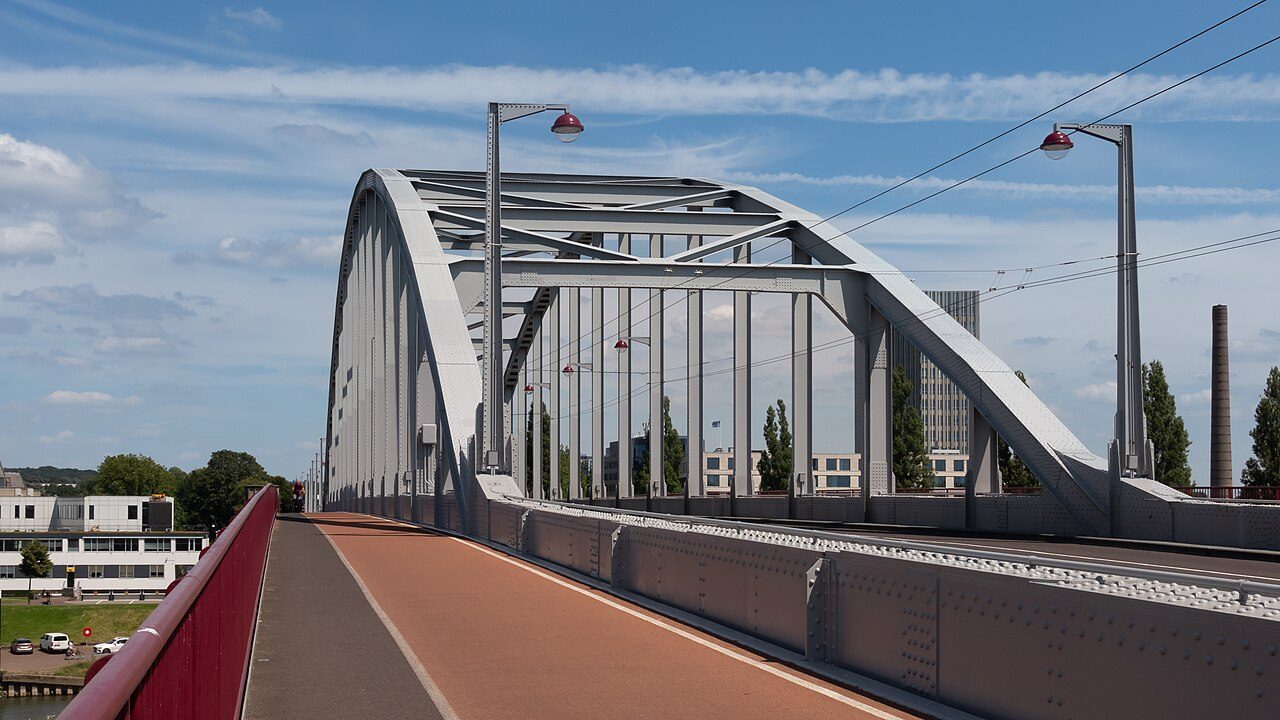
Look west along the river and you can pick out the John Frost Bridge, the crossing the British paratroopers fought for in 1944. From the south bank you see how exposed the river line is and why it mattered.
Bring patience. Stop at the water's edge, watch the horses move across the meadow and let the city shrink behind you. Meinerswijk works best slowly.
Before you go
- Walk or cycle across the river from the centre. The park starts on the south bank, and a first stretch takes about fifteen minutes on foot from the bridge.
- Go early in the morning or in the hour before sunset. The light on the skyline is best then, and the paths are quiet.
- Wear shoes that can handle mud. The floodplain is wet after rain, and the paths can be soft.
- Keep clear of the Konik horses and Galloway cattle. Do not feed or touch them, and keep dogs on a lead.
- The castle site is only a low rise in the ground, so do not expect ruins. Bring binoculars if you like birds.
What people say
Related spots
More spots in Arnhem ›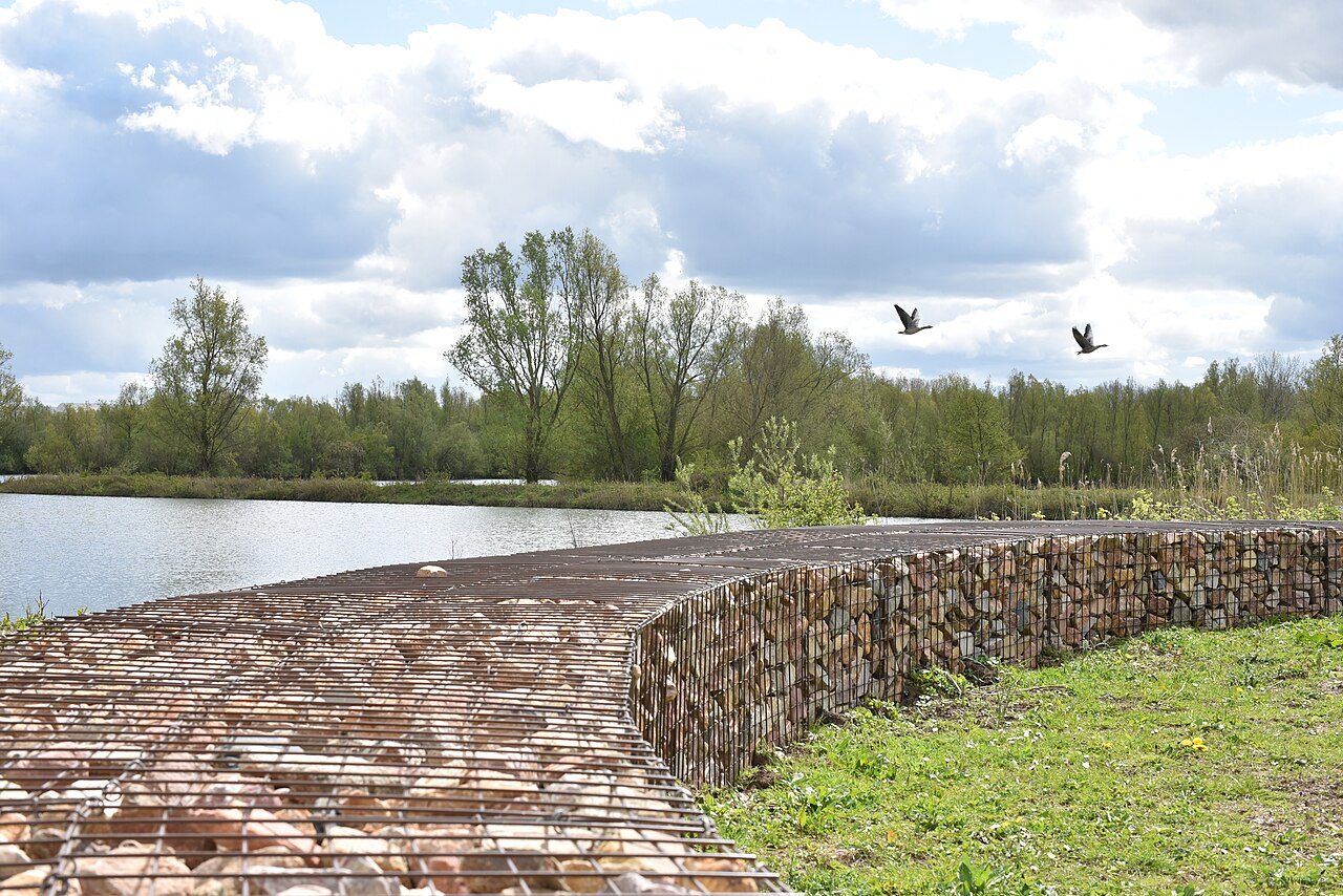 ODD FIND
Castellum Meinerswijk
Stone outlines of a Roman fort in the Meinerswijk floodplain, part of the Lower Germanic Limes.
 LANDMARK
John Frost Bridge
The Rhine bridge the British held in 1944, rebuilt and renamed for John Frost. The film calls it a bridge too far.
 LANDMARK
Rijkerswoerdse Plassen
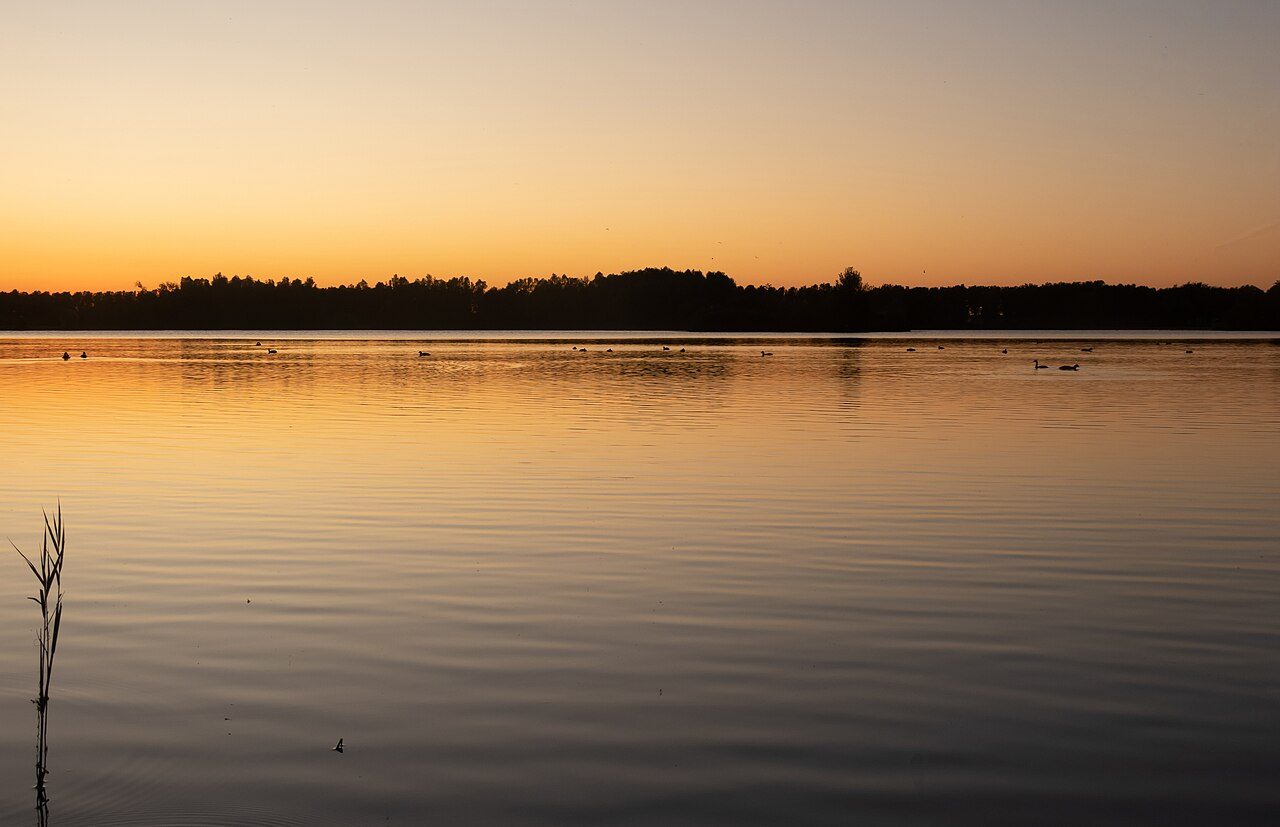
Lakes on the south edge of the city, used for swimming and sailing.
 MUSEUM
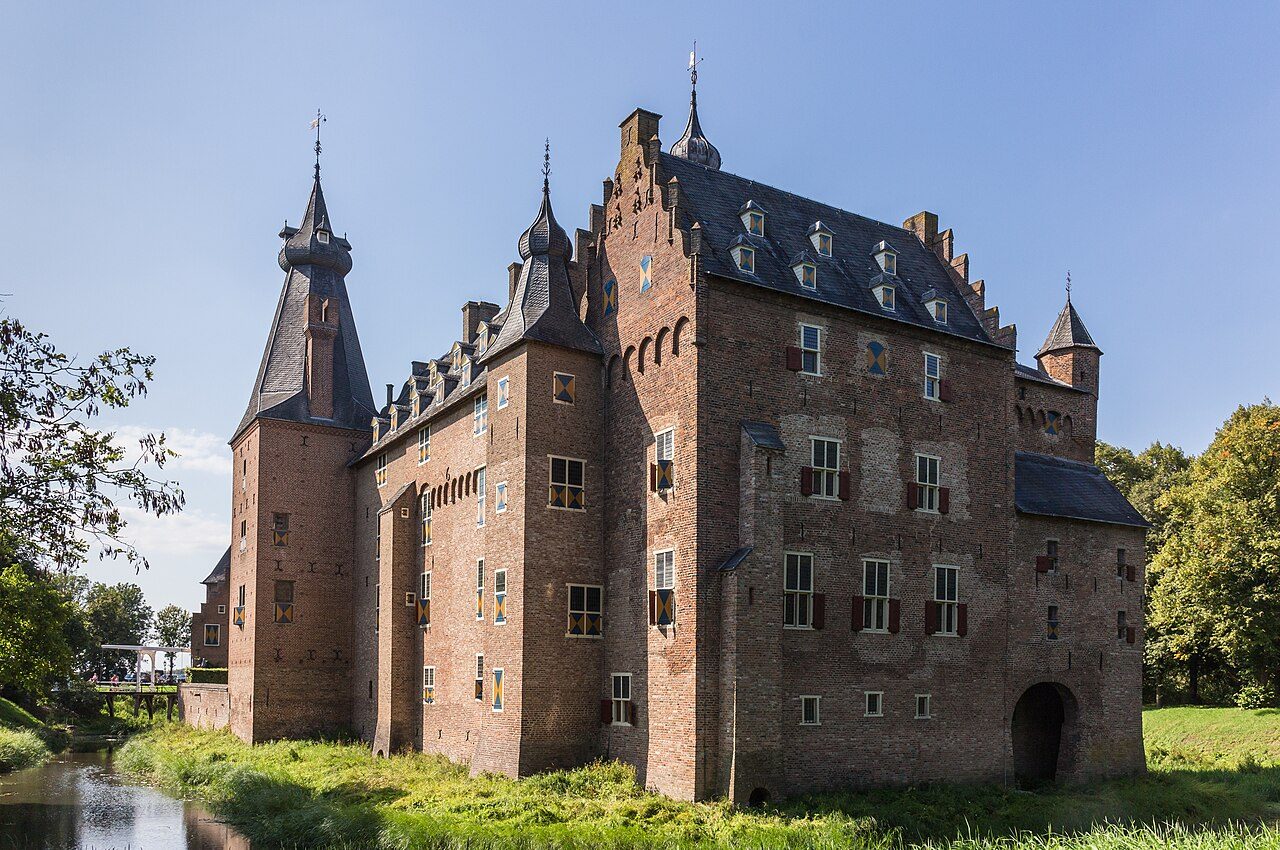
Doorwerth Castle
Medieval moated castle on the south bank, west of the city in Doorwerth, not in Arnhem Zuid.