
LANDMARK
NAP (Amsterdam Ordnance Datum)
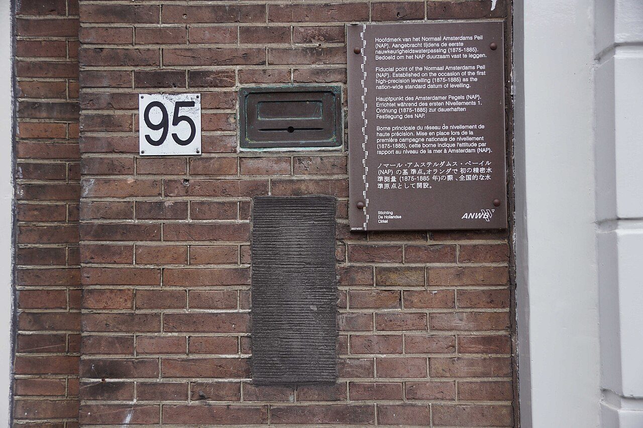
In the Stopera passage: the zero point all European heights are measured from, with water columns showing flood levels.
A zero you can stand beside
In 2010, the future King Willem-Alexander opened the NAP visitor centre in the Stopera and laid his hand on its zero point. It was a fitting gesture for a monument designed to make an abstract measurement tangible. Here, in the Stopera passage, a bronze marker and three water columns turn the business of measuring height into something you can stand beside and understand.
NAP stands for Normaal Amsterdams Peil, usually translated as Amsterdam Ordnance Datum. It is the reference level used to measure heights in the Netherlands, and it underpins height systems across much of Europe. A height given relative to NAP means a height above or below that agreed reference, rather than above whatever the water happens to be doing today.
Look for the monument in the Stopera passage, next to Waterlooplein flea market. This is a short stop, but give it more than a passing glance. The point is not the size of the monument. It is the relationship between that small fixed marker, your own body and the water levels rising beside it.
Built to stay put
Louis van Gasteren and Kees van der Veer built the monument in 1988. They faced a particularly Amsterdam problem: how do you make a dependable reference point in a city where buildings can settle?
Their answer lies beneath the visible display. They placed the bronze marker on a pile driven into a deep sand layer. Crucially, that support is separate from the building. If the surrounding structure settles, it should not take the marker down with it. The independence of those foundations is part of the monument’s meaning, even though you cannot see them.
Van Gasteren intended visitors to be able to put their hands on the marker. Willem-Alexander’s gesture at the visitor centre opening in 2010 followed that intention. Remember that story when you look at the bronze: this was conceived as a reference people could encounter directly, not simply a technical fact behind glass.
Read the water columns
The three columns explain why a common reference level matters. Two show water heights at IJmuiden and Vlissingen. The third marks the height reached during the 1953 Zeeland flood disaster. Read them separately rather than treating them as one decorative display: two concern water levels at named coastal locations, while one records a catastrophic historical flood.
The nearby Amstel, crossed by Blauwbrug, gives the subject an immediate setting. But the water surface outside is not a fixed ruler. That distinction is what this monument helps you grasp. Start with the bronze marker, then look up the columns and compare their heights with your own. An unfamiliar abbreviation becomes a physical scale, and the flood column gives that scale a human weight.
Things to know
- Find the monument in the Stopera passage, beside Waterlooplein.
- Allow about 15 minutes to read the display.
- Identify each column before comparing its height with the others.
- Look for the bronze marker as well as the water columns.
What people say
Related spots
More things to do in Amsterdam ›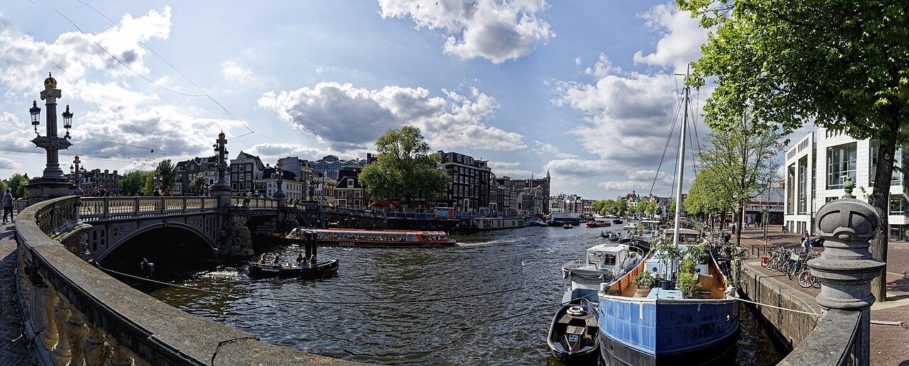
Waterlooplein flea market
The city's oldest flea market, next to the Stopera.
Blauwbrug
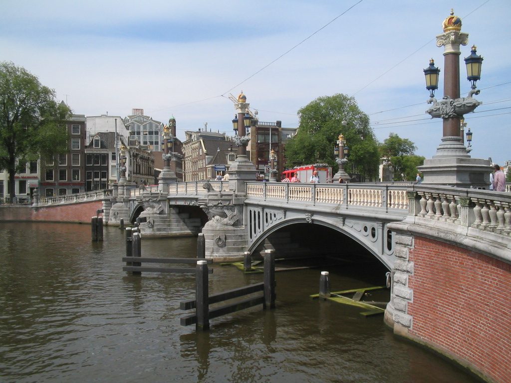
The ornate stone bridge over the Amstel, modelled on the Pont Alexandre III in Paris.
Groenburgwal
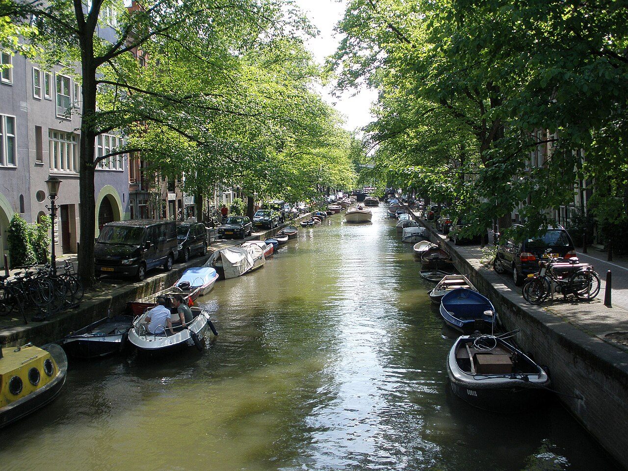
The quiet canal Monet painted, with the Zuiderkerk tower at the end.
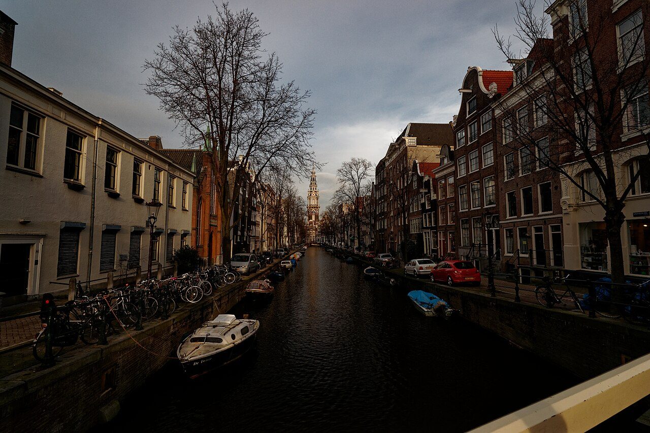
Zuiderkerk
The first Protestant church of Amsterdam, painted by Monet; the skull gate to its graveyard is around the corner.
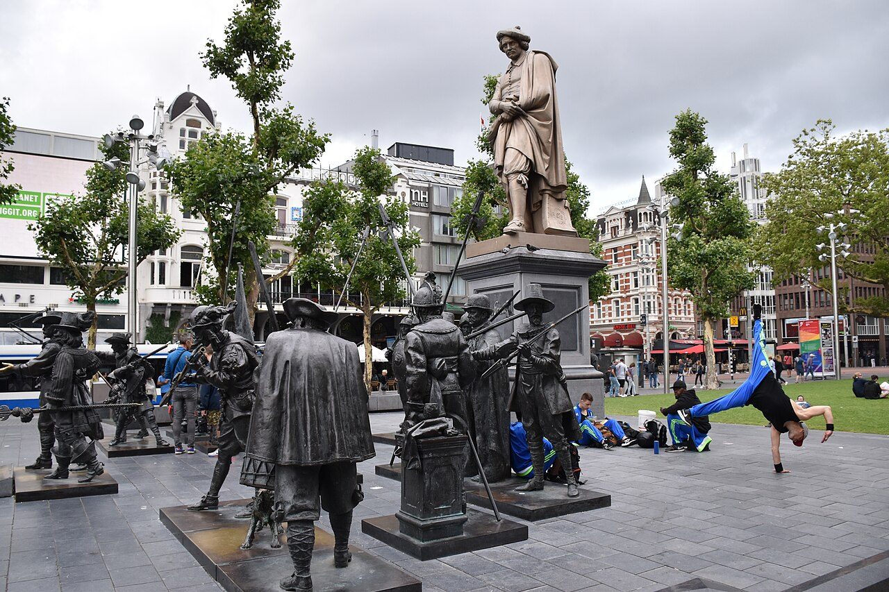
Rembrandtplein
A lively Amsterdam square centred on Louis Royer’s cast-iron Rembrandt statue. The Night Watch bronzes shown in older photos were removed in 2020.
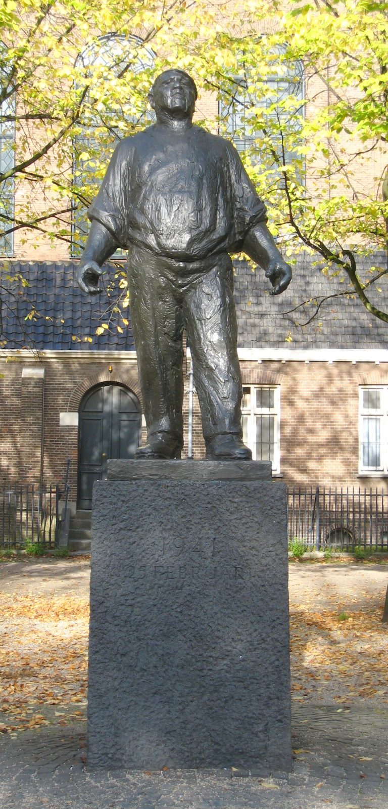
De Dokwerker
The statue for the February Strike of 1941, when Amsterdam stopped work to protest the deportation of Jews.
Tours and quests that pass here
These walks have a stop a few minutes from NAP (Amsterdam Ordnance Datum). Free, on your phone, start any time.
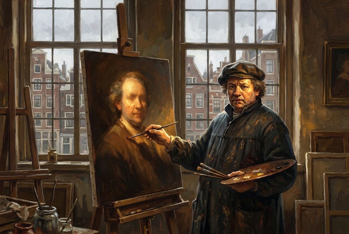 FREE AUDIO TOUR
In Rembrandt's Footsteps
The painter of The Night Watch lived and worked in Amsterdam, and his house is still standing. From the early 1630s until his death in 1669, Rembrandt made his life in streets you can walk today.
 CITYQUEST
Rembrandt's Missing Panel
Your Rembrandt puzzle is missing a panel, and the hunt for its missing letters takes you into Amsterdam. You’ll piece it together among the real buildings and river views connected to his pictures.
 FREE AUDIO TOUR
Van Gogh's Amsterdam
The man who painted Sunflowers lived in Amsterdam for just over a year, before he became an artist. You can still stand at the naval yard he called home and follow his Sunday walks across the city.